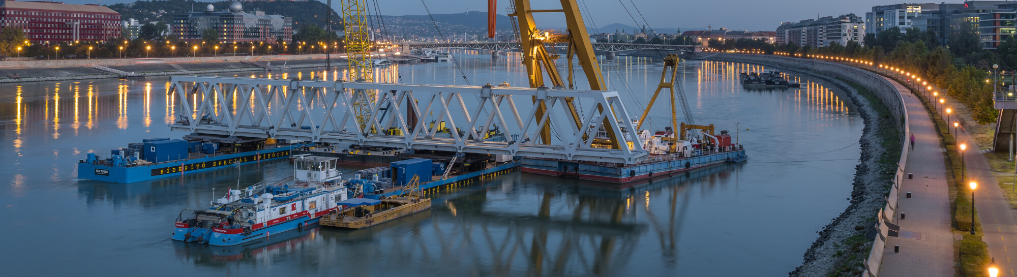
#3D river basin mapping
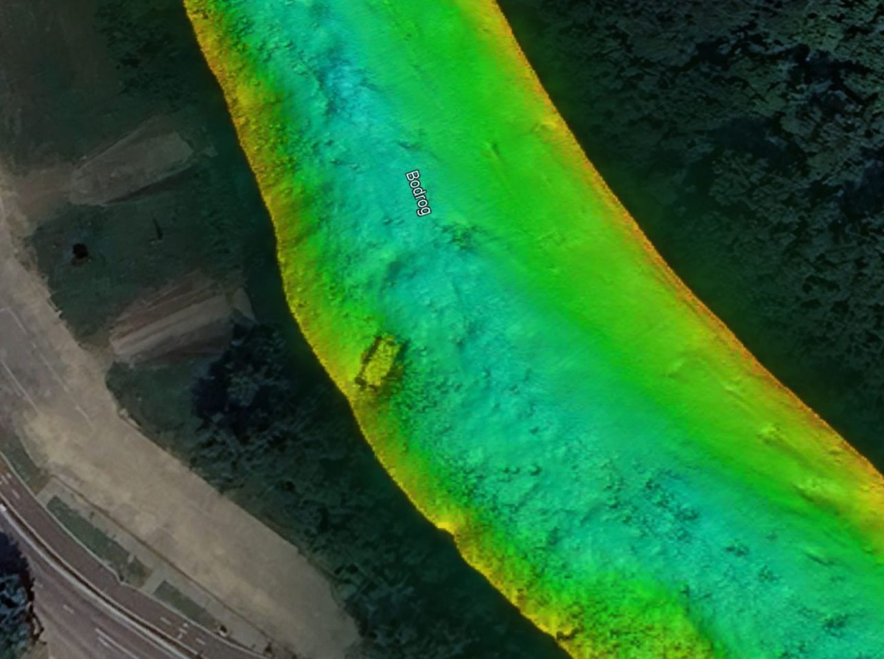
Bodrog River – Confluence with the Tisza
In late 2025, we conducted a high-precision 3D bathymetric survey along an approximately 9-kilometre r each of the Bodrog River, commencing at its confluence with the Tisza River. The survey was undertaken in preparation for a planned in-water engineering project, for which an accurate and up-to-date assessment of riverbed conditions was essential. Multibeam echosounder technology […]
Više informacija
3D River Basin Mapping
We use our 3D Multibeam system to carry out bathymetric surveys. Our specialised instrument uses a multibeam sonar and a sound velocity probe to map the basin and then provides images of the size, distance and shape of objects on the bottom to an accuracy of cm.
Više informacija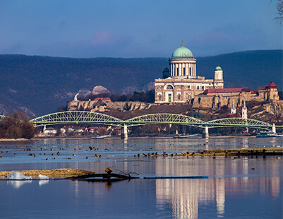
Marie Valerie Bridge, Esztergom
Sometimes, a river can ramify due to the large amount of sediment it carries and continue its journey between the many small islands it has formed. This is called river braiding.
Više informacija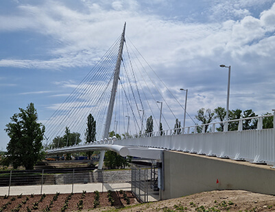
Robinson Bridge, Budapest
Prior to the construction of the pedestrian bridge of the National Athletics Stadium, we carried out a riverbed survey on the affected section of the Ráckeve (Soroksár) Danube.
Više informacija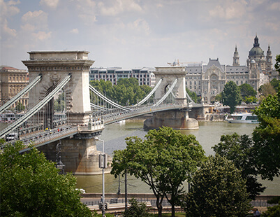
Chain Bridge, Budapest
As part of the renovation project of the Chain Bridge, which started in 2021, we removed debris from the Danube riverbed.
Više informacija
Zatražite ponudu
Ukoliko su vam potrebne naše usluge ili specijalizovana oprema za realizaciju budućih projekata, biće nam zadovoljstvo da pripremimo ponudu u skladu sa vašim zahtevima.